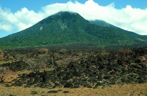
View of Volcán Orosi in 1987. Photo by Dan Janzen.
A recent photo (below), taken by Dr. Rob Puschendorf, GDFCF Technical Advisor, while in Área de Conservación Guanacaste conducting research with his students, prompted GDFCF President Dr. Dan Janzen to dig through some of his old photos. The result is the photo (above), taken in 1987, that shows the change in the landscape over time, and what happens when a degraded plot of land is allowed to naturally regenerate for 35 years. In the 1987 photo, the white dots are cattle. The land, says Dan, was regularly burned and the cattle would eat the grass shoots. Dan also suspects that the indigneous people burned the area, as it is the site of their petroglyphs (see photo below). Today, Rob, says it is the "tierra de garrapatas", or "land of ticks"!
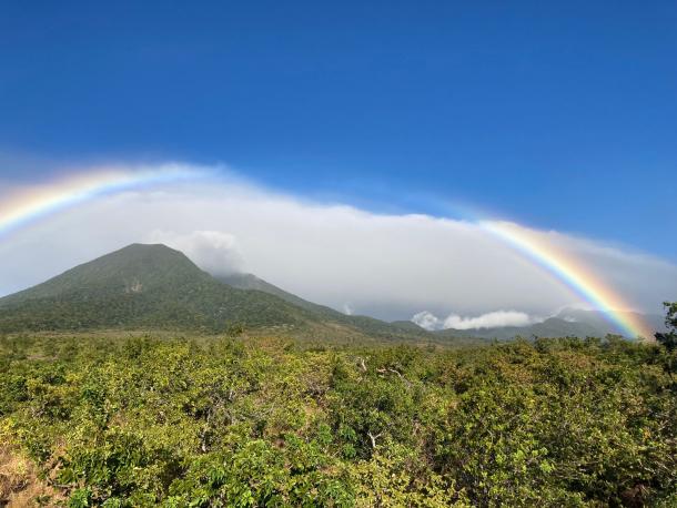
The same viewscape, but in 2022. Photo by Rob Puschendorf.
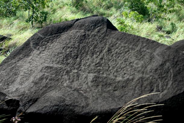
Pre-Columbian tapir petroglyph. Photo by Alejandro Masís.